Five New eBird Animated Occurrence Maps for 2010
By Hugh Powell December 17, 2010

A quick update on the status of eBird’s supercomputing collaboration and their production of these cool animated occurrence maps. The team just released their latest five range maps, bringing the total now online to 15, and launched a dedicated page about the occurrence maps on their site.
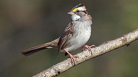
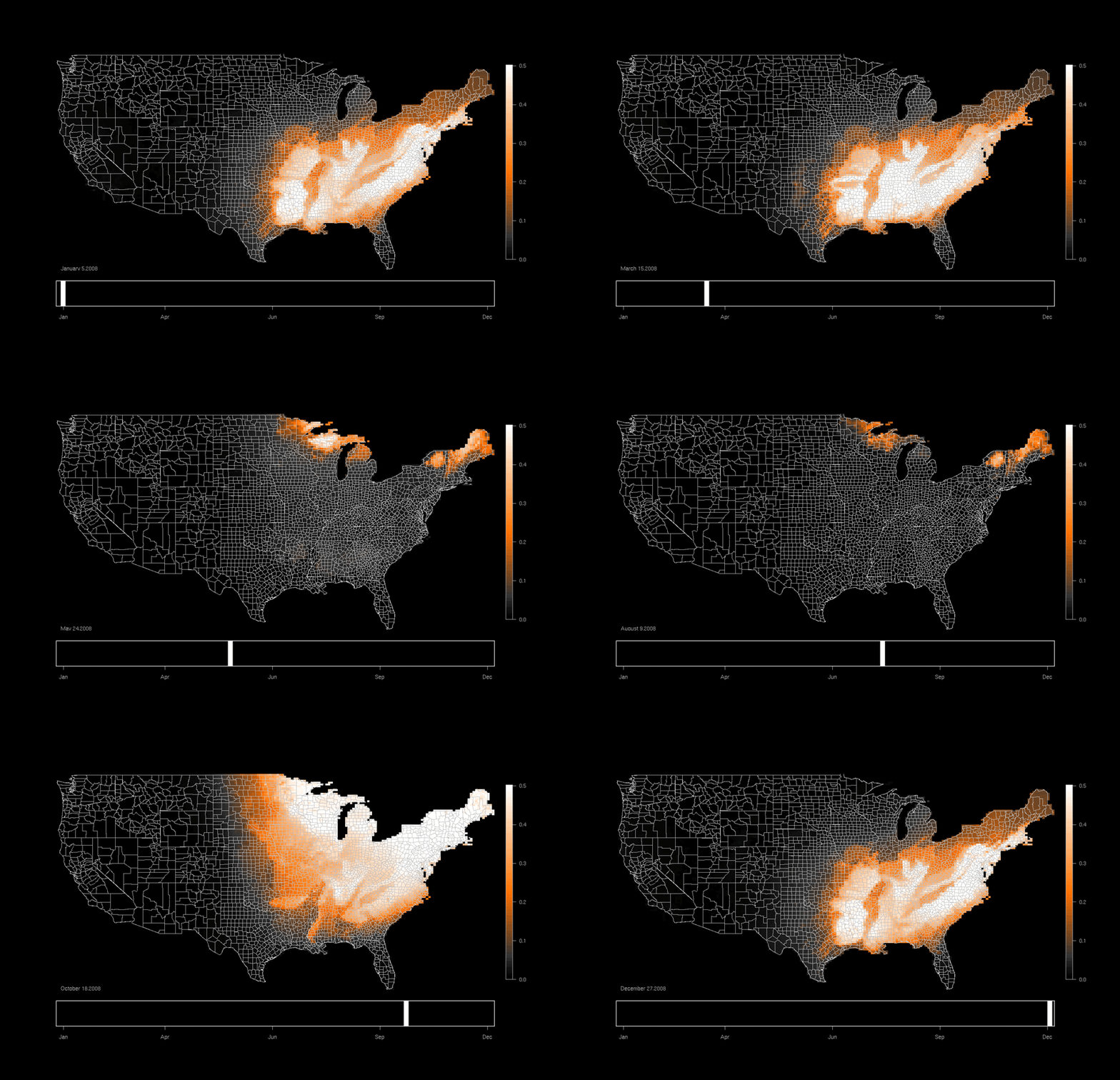
A recent post on our Facebook page really brought out how much you folks love White-throated Sparrows—and it’s easy to see why; these sharp little sparrows are a delight on any winter’s day. As it turns out, they’re also featured as one of eBird’s five new occurrence maps, so let’s take a look at it:


Unlike all those Neotropical migrants, the map doesn’t start off blank in January—White-throated Sparrows are all over the eastern U.S. in winter. As the map clocks through summer you can see which parts of the country are lucky enough to have these birds year-round. Then fall rolls around and the birds flood back southward and in many cases, into your yard.
But what I really like is how well it performs next to the static range map for the species—even down to the tiny wintering population in Southern California. And yet this wasn’t drawn by hand—it’s coming from sightings by eBirders mashed up through the use of a “Spatio-Temporal Exploratory Model” with habitat information gleaned from satellites. For full details, see the Occurrence Maps page on eBird.
eBird co-leader Brian Sullivan gave a talk about the project this week at the American Geophysical Union meeting, one of the most high-powered annual meetings of scientists in the world, the place where Mars Rover findings and 100,000-year-old ice cores are discussed. (I love the mental image of a lone bird geek speaking to a horde of geophysicists.) I’m eagerly watching to see where this application leads next.
For now, I’m happy to watch the ebb and flow of the seasons, as written by White-throated Sparrows.


All About Birds is a free resource
Available for everyone,
funded by donors like you


